After marking the spots with pins, I linked them with a elastic rope and I got the first version of my route. The main issue of that route was that it included doing Möðrudalur–Sprengisandur–Varmahlíð, and that was 400 kilometers off-road between gas stations. Too risky even with extra fuel, so I abandoned that idea and had to redo the whole route.
Using Google Maps, I calculated all distances and times on the actual roads to obtain the average per day. It looked like an easy plan that would allow me to rest some days.
To spare me the high prices of accomodation in Iceland, I will camp with my own tent most of the nights. I realized that if I always move forward, I would have to plant and remove my tent everyday. Also, I wouldn’t have many chances of washing and drying my clothes. Once again, I modified the route to travel in loops and stay in every place as many nights as possible. Another advantage of the loops is that if I get too tired or there is any issue, I can cancel them and still be on schedule for the next stage. So now it looks like this.
The downside of the loops is that they make riding distances and times quite longer. I recalculated this, and also reviewed the Lonely Planet guide once more to add the time that I would stop in every place. It turned out to be too much, so I shortened some routes and removed some sights from the plan.
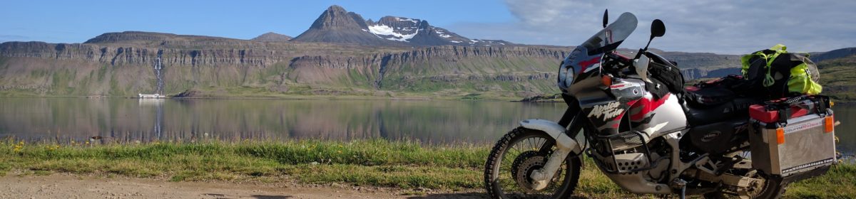
Iceland trip route planning
At the same time, I decided where I’m going to stay every night. It’s not so easy as dividing hours by days, because in Iceland you may want to make it shorter or longer and stay in a place with good services. In the Highlands, there are a few places where one is allowed to camp at all.
I ended with big differences between days, so I’m still doing minor adjustements trying to balance them. But the plan is pretty much defined and I have already done most of the bookings. These include the hotels in which I will rest now and then.
You know I don’t want to share the all the details before the trip, but here are some numbers:
5400 kilometers in total.
95 riding hours in total.
260 kilometers average per day.
376 kilometers the longest route in a single day.
335 kilometers the longest route between gas stations.
I hope I haven’t gone too crazy. I’m sure Vacaburra can’t do 300 kilometers off-road loaded on a single tank, so I’ll fit Rotopax containers and other parts that I will show you when I get them.
By the way, the snow is gone and the motorbike is ready to be taken from storage. It’s still quite chilly, but I will start the season very soon.
I would like to share some plans for my Icelandic trip, hoping it helps someone in the future. I also appreciate feedback and tips from experienced travelers.
I chose Iceland because it will be my first motorcycle trip and I thought it was better to start in place where I could easily communicate and get help and services. I’m already thinking where I could go next…
Iceland is a very popular and growing destination where you need to book things way in advance. Accomodations are already geting fully booked for this summer, but I plan to camp most nights and book rooms as an occasional treat. This urge to book requires a detailed plan to know where I’m going to spend every night.
The first thing I did was reading and underlinig the most interesting parts of the Lonely Planet Iceland guide. Then I went through the underlined parts to come up with the list of things I want to see, which I share at the bottom of this post. You may notice notable abscenses like Hornstrandir or Vestmannaeyjar. I don’t want to trade time on the motorbike for multi-day hikes or excursions to places not that different from what I’m going to see anyway.
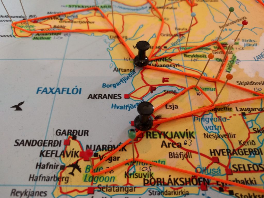
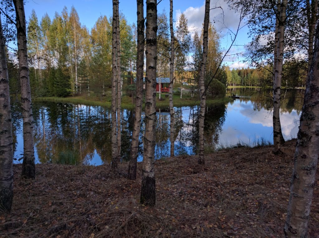
Then I marked the spots with pins in a map of Iceland. I also wrote some notes and marked the first and last petrol stations when crossing the highlands. You can see this in the picture below.
Iceland trip planning
I’m currently linking the pins with that orange elastic string to define the route. Of course, I will be taking as many dirt roads as possible. I think I will need extra fuel cans to make it through the highlands. The part that worries me the most is crossing rivers.
Once I have the route I will use Google Maps to measure distances and times and decide how far I will go and where I will sleep every day. I have a total of three weeks, so I expect plenty of time to enjoy the locations and rest.
For privacy and security reasons, I won’t share much information regarding the route, dates and times before the trip. But I will tell you about the gear, equipment, costs, etc. After the trip, you will get every detail including pictures and videos.
So, here is my list of thins to see in Iceland. The pictures look better than anything I have seen in my life before. Again, feedback is appreciated:
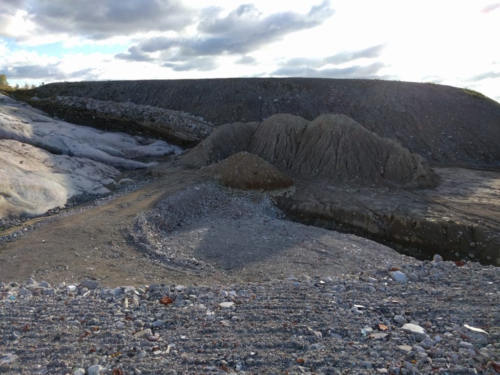
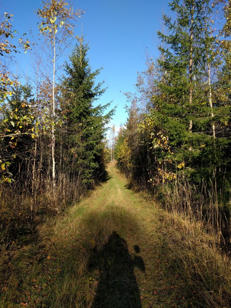
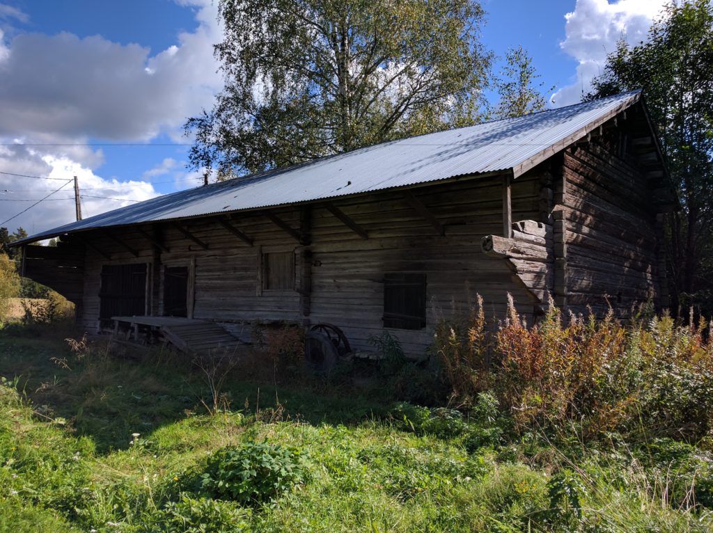
In this location north of Vantaa’s airport there are some gravel pits that I call “the playground”. The area is small but good to practice some extreme terrain conditions without going far from Helsinki. There is no barrier or sign preventing access, but I never saw any other person or vehicle there. I went there on my way to leave the motorcycle for winter storage, and that’s when I took the pics of the post about Vacaburra.
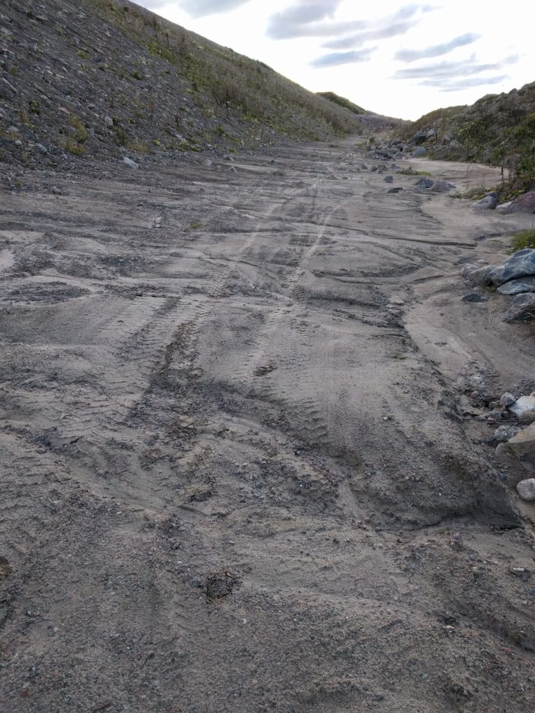
Getting into the area one can turn left or right. To the right there is a straight path of soft soil that is always wet, due to the water running down from the slope next to it.
Soft soil in the pits north of Vantaa’s airport
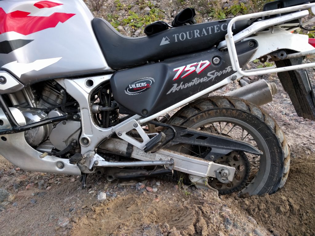
I wouldn’t get in there if you can see some water flowing anywhere around. There wasn’t that day, sun shined during the last days, and I still got stuck as shown in the picture below. I managed to get out after several attempts of laying the motorcycle on its side to get the wheels out of the holes, and filling these with stones, branches and soil.
Stuck in the pits north of Vantaa’s airport
On the left side there are some gravel paths, steep slopes, pits, holes and climbable rocks. The area looks great for agile trial or motocross bikes, but I better stick to the paths in my old heavy rally machine.
Pits north of Vantaa’s airport
Like I said, not worth of a trip by itself but nice to visit when nearby.
Have an exciting and safe 2017, by the way! I’m counting the days to get Vacaburra back, sometime in April.
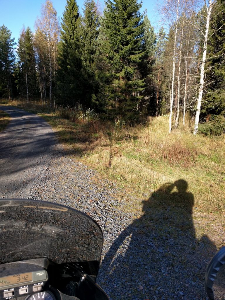
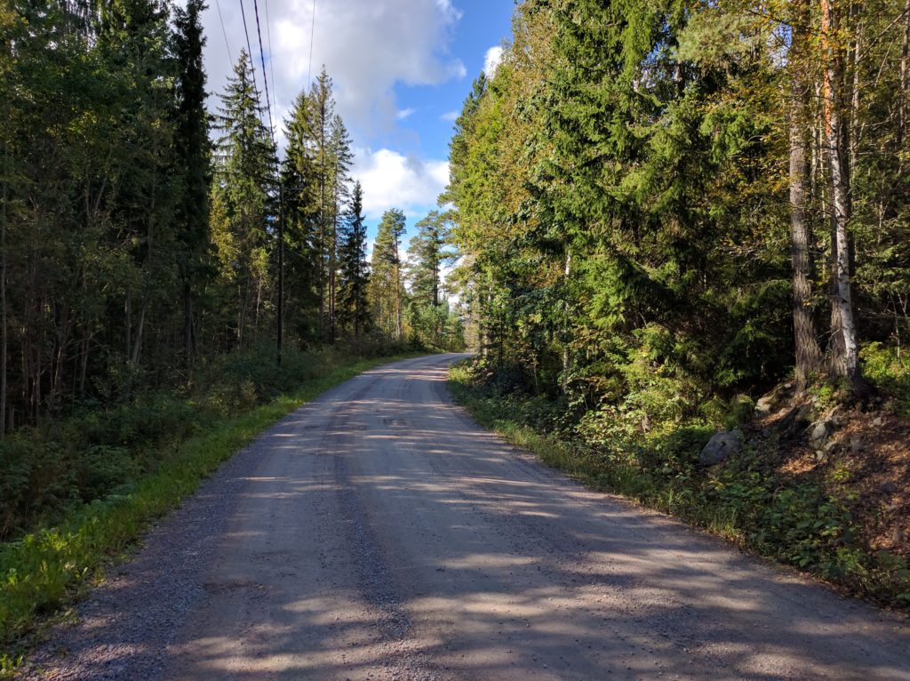
When I’m in the middle of a forest, I use to stop and turn the engine off to rest and enjoy the relaxing atmosphere. The video below was taken in this location of my Kalkkivuori trip, when strong winds waved the branches.
I know it’s cynical that I enjoy the forest peace when I’m the one disrupting it with my motorcycle. I care about nature and I always feel bad about the stress that I may cause to the forest wildlife, but my joy of driving there is stronger. I really wish I had an electric motorbike. Unfortunatelly the few existing off-road models are crazy expensive and have a really short range. Some day.
By the way, that video was taken with my cellphone, but I plan to get a proper action camera and post videos of my next season’s trips.
I have always worried about how I could tell my location in the middle of a forest if I needed emergency asistance. Quite often I’m in paths with no name, or even paths not mapped by Google. A friend of mine gave me the answer: the Finnish 112 app, available for Android, iPhone and Windows Mobile. When you make an emergency call with the app, the emergency services automatically get your location. You can also specify your spoken language, english among them. You can read instructions in english here.
Fortunatelly, I haven’t tried it and I hope I don’t ever have to.
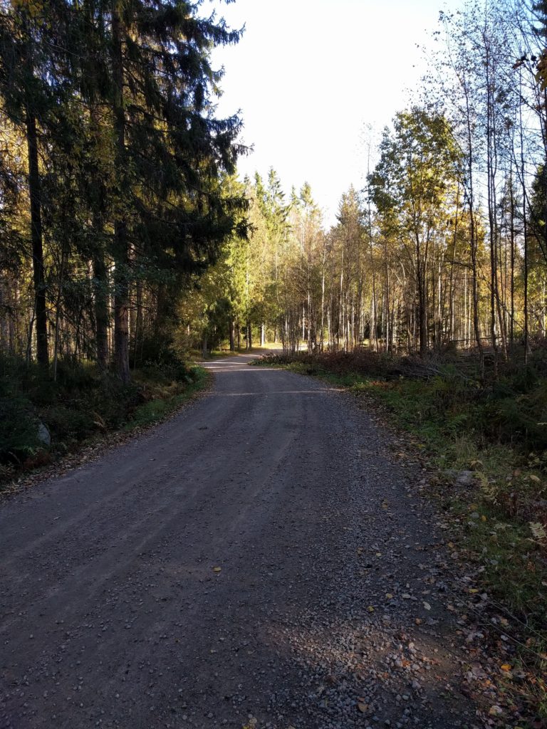
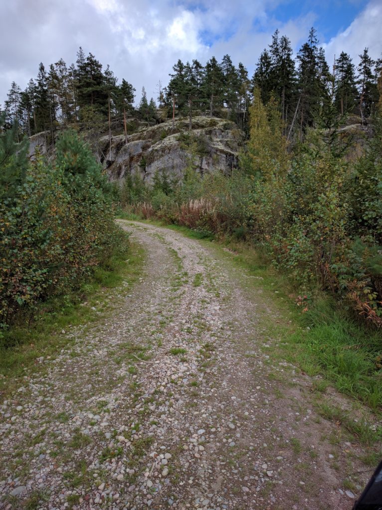
Yes, the motorcycle season is over but I still have trips to tell you about. After the success of my trip to Ylimmäinen, I used Google Earth to search for more forests in the surroundings and Kalkkivouri looked very promising. Indeed, I found there challenging paths in a gorgeous forest, similar to the best of Niemenjärvi and Keihäsjärvi.
I’m not going to explain you again how I got there, nor I can give you a detailed description of my route. All you need to know is that I took every open path I found in the area limited by road 132, road 25, Korpiharjuntie, Livinkyläntie, Suopellontie and Kytäjäntie. I was mostly going around the outer part of the forest, since all paths to the center were closed by barriers.
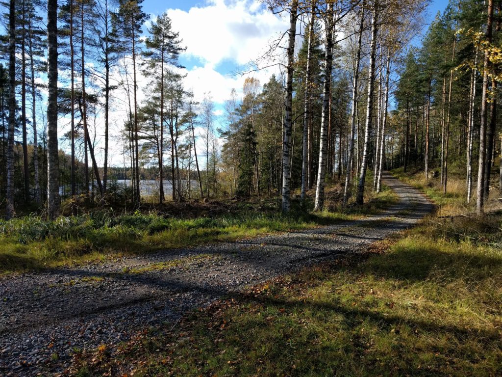
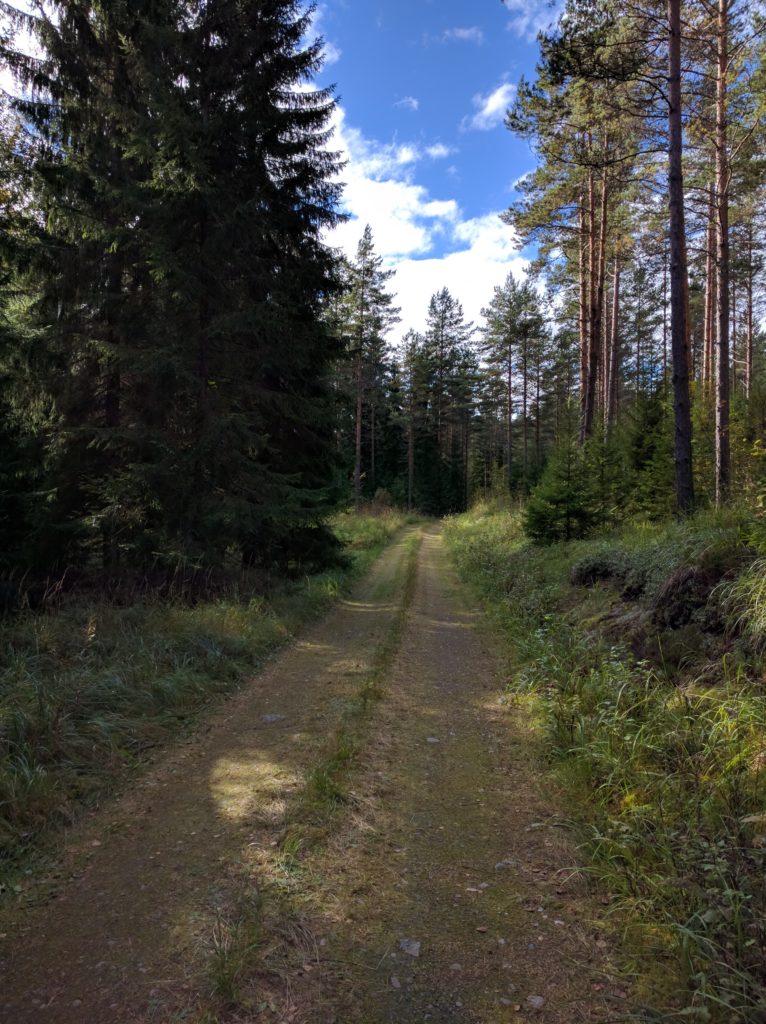
It got much better when I took Iso-Kairintie, a very challenging path of stones similar to Källängintie in Sipoo, but this is longer and has great views of Iso-Kairi lake.
Iso-Kairintie (Vihti)
The sun doesn’t get high at this time of the year and visibility was a constant problem during the day. Trees and branches make zebra shadows on the ground that make it very difficult to spot stones and holes, like in the picture below taken in this location. They can hit you like flashes of light that prevent your eyes from getting adjusted. Despite wearing sunglasses, I could barely see a few meters ahead when the sun was right in front.
Path in Kalkkivuori (Vihti)
I was enjoying myself and, as you can see in the grass marks of the picture below, I missed this curve but was able to stop before crashing or falling. It’s not the first time I go off the path and I always wonder if it is because of me getting mentally blocked rather than actually reaching the limits of the bike or the road. Maybe I could have stayed in the trajectory if I hadn’t got afraid of sliding on the gravel. I would have definitelly tried if there wasn’t such a good escape in the outer side. In any case, I always try to keep the balance between fun and safe.
Path north of Valkealammi lake (Vihti)
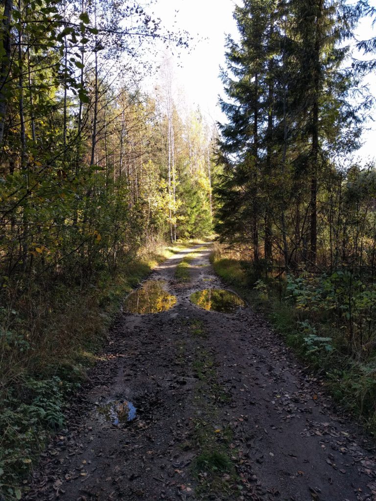
That day I discovered a new type of very deceiving path conditions. Much of the soil looked dry but was surprisingly slippery. What happened is that there had been heavy rains followed by sunny days that created a thin layer of dry soil over mud. I realized this when I noticed the tracks left by the tires were darker than the rest of the soil. Unfortunatelly I don’t have any picture to show you this, but I photographed some poodles in this location.
Path south of Suopellontie (Vihti)
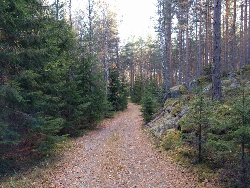
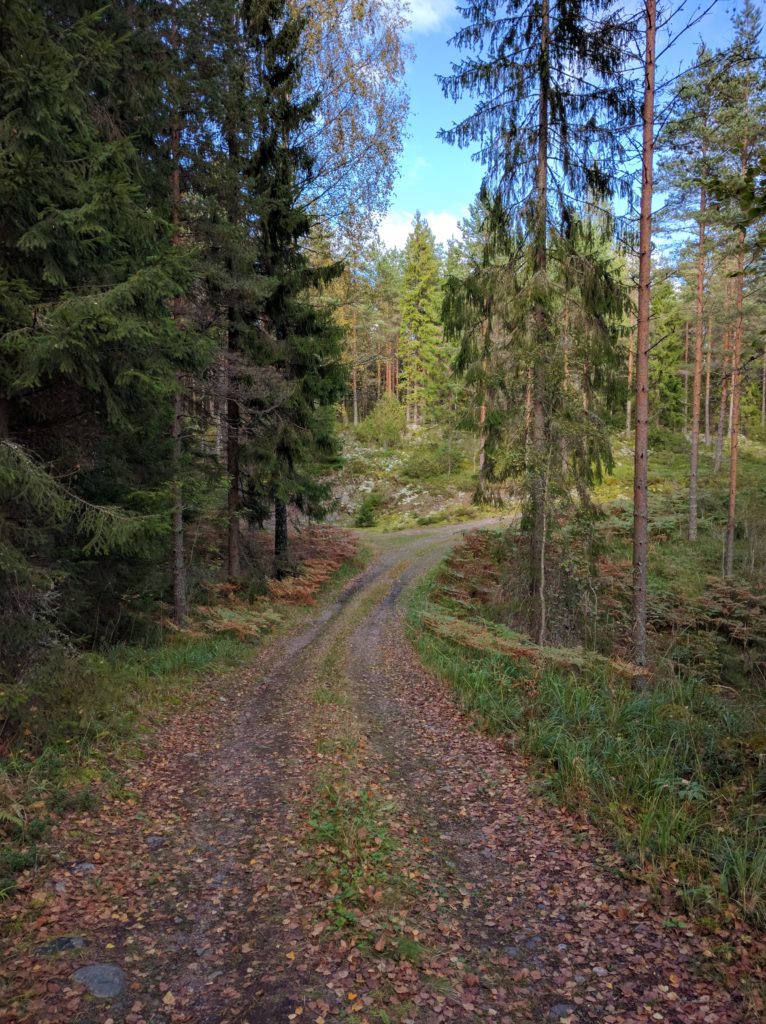
Another peculiar condition of the day was the amount of leaves due to the Fall season. The picture below was taken in this location, where I found the most beatiful spot of the day with different kinds of trees and rocks covered with moss. I stopped there to rest and listen to the wind waving the trees.
Path near Valkealammi (Vihti)
The slippery conditions put me in trouble when climbing this slope in the picture below.
Path west of Solttila (Vihti)
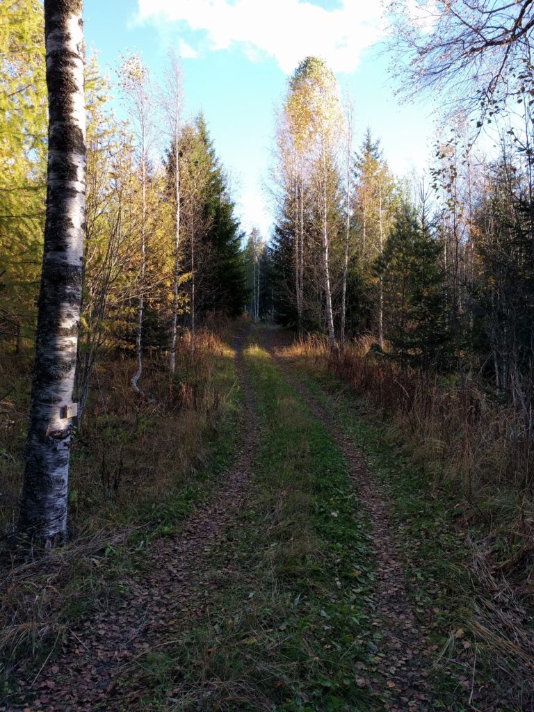
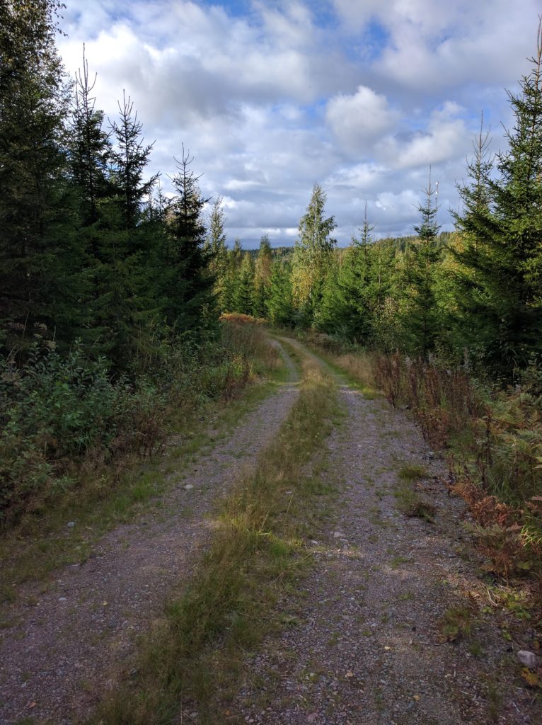
The day wouldn’t be complete without getting into high-grass paths, like in the picture below taken in this location.
Path south of Suopellontie (Vihti)
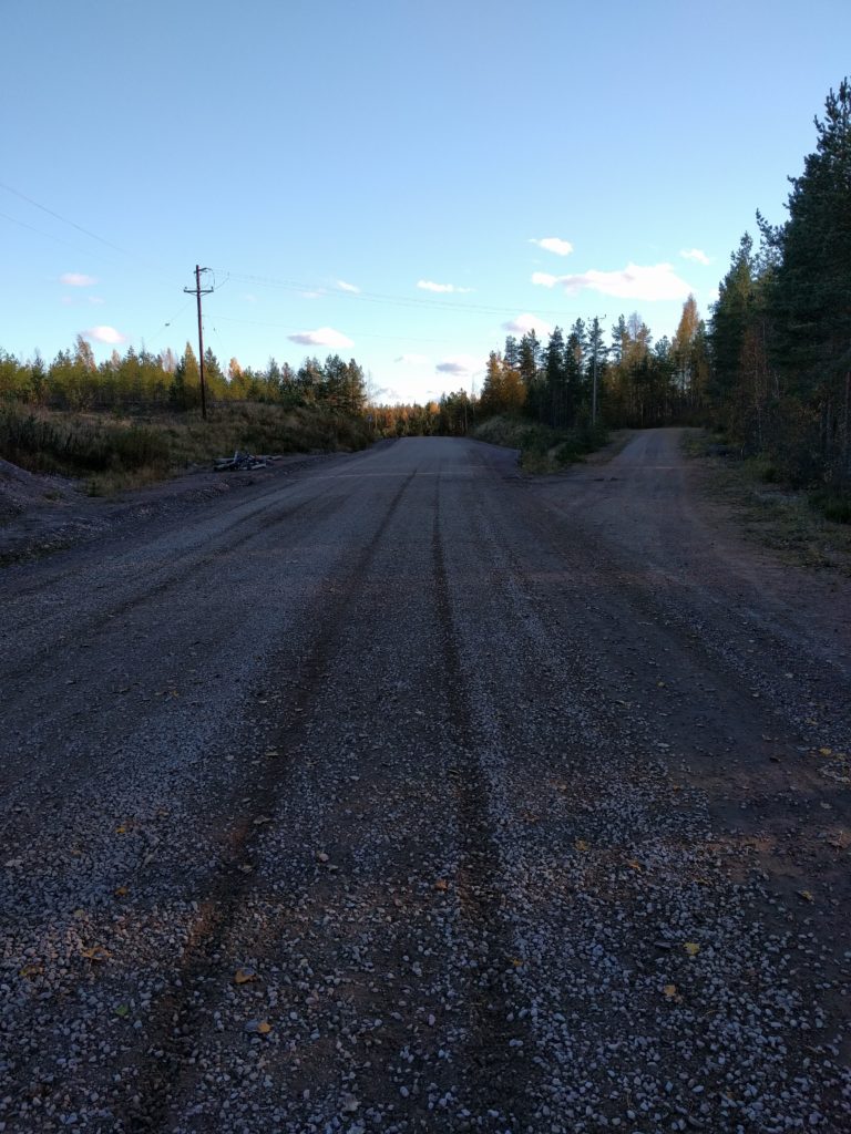
At the end I took Astrakan south to reach road 25 and went back to Helsinki. Astrakan is a wide gravel road.
Astrakan (Vihti)
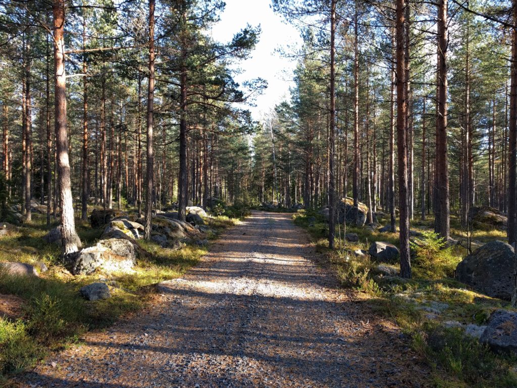
Kalkkivuori is another great area for off-road motorcycling, and so must think the two KTM riders I crossed there. Besides them, I didn’t cross any other vehicle or pedestrian, but never assume nobody is around the corner. Kalkkivuori combined with the nearby forests of Niemenjärvi and Keihäsjärvi could make a perfect long day that I definitely must have next season.
Finnish weather is putting an end to the motorcycling season and I have already stored mine until May. I thought it is a good moment to tell you about my ride.
I will tell you about my motorcycling story in another post, but to make it short I was never interested in going off-road until I got my current motorbike. I was looking for a cafe racer or something that could be turned into one. Jeff Veraldi’s K100 made me look for a BMW K100. But then I thought it would be nice to roam Finland’s forests and unpaved roads, so I changed my mind. And that was one of my best decissions ever.
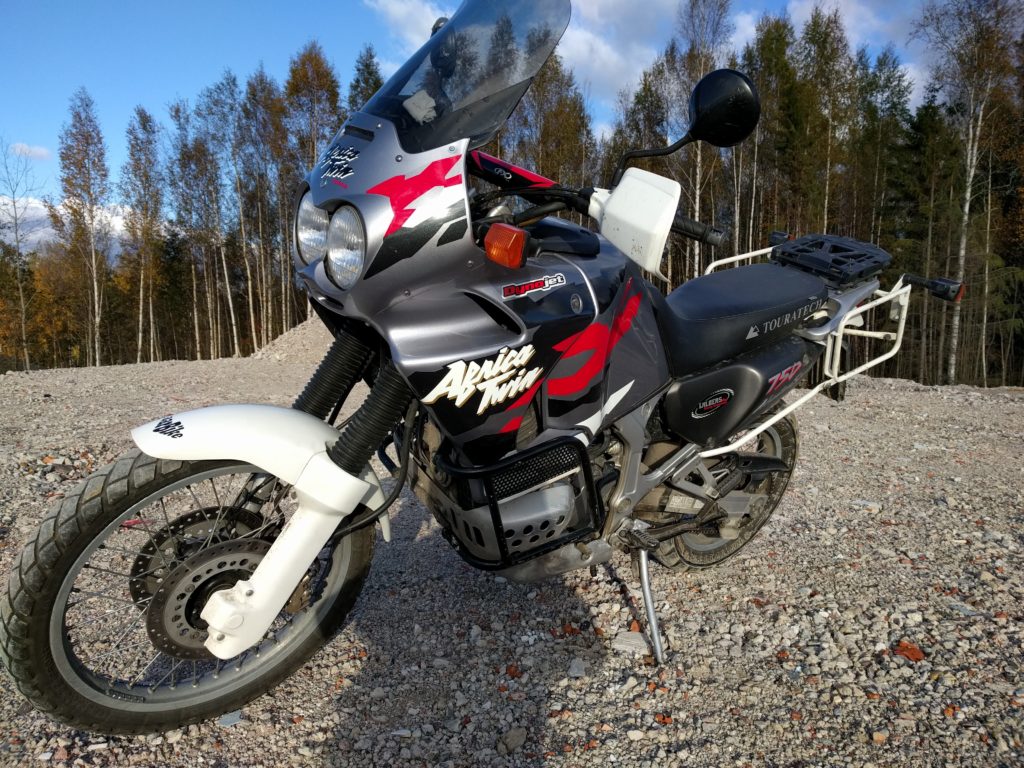
So I looked for the off-roader of our childhood dreams, the legendary Africa Twin. They are appreciated and difficult to find, but I finally saw Vacaburra advertised in a second-hand dealer near Helsinki.
Vacaburra
I call her “Vacaburra”, which is a word we use in my home region to say “crazy cow”. I chose the name because the thing is big, heavy and mighty. Get familiar with it, I will use it from now on.
Yes, it’s a Honda XRV 750 from 1996. The color scheme is my favourite of that bike. The odometer indicated 74800 Kms and I pain 3400 euros for it. Unfortunately after the first night parked in the street I couldn’t start it and I noticed the clutch wouldn’t disengage. I should have had it towed to the seller, but I sent it to an official Honda dealer because I wanted a second opinion. Its workshop said that someone used the wrong type of oil for the clutch and they had to change the discs. That plus a new battery, oil change and other ordinary maintenance added to a bill of 800 euros.
The seller told me they could have taken care of the problem, but still they accepted to reimburse me 100 euros for the new clutch discs. So, at the end, I paid 4200 to have it in working order and I didn’t have more problems. Not a bargain, but I think it was a fair price considering the selling prices in Finland.
The bike came with modifications and extras suggesting that some previous owner used it for long trips. It has plastic luggage cases and mount that I used in my Estonian trip.
It has a wider windscreen that you can see in the picture above. I have the original windscreen too, which I tried and I noticed the difference in wind protection.
You can see that it has a Touratech seat, which feels hard after a while on it. If this is an improvement, I wonder how horrible the original seat is. I have seen split seats that look more confortable but, in my opinion, don’t fit the looks of this motorbike.
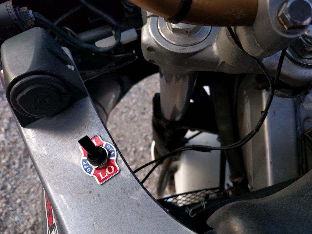
The best comfort extra are the heated grips and a 12 volts socket. The grips really work well, I only used them in the low heat position and I still have to switch them off when they get too hot. The wiring could have been better, though.
Vacaburra’s heated grips switch and 12V socket.
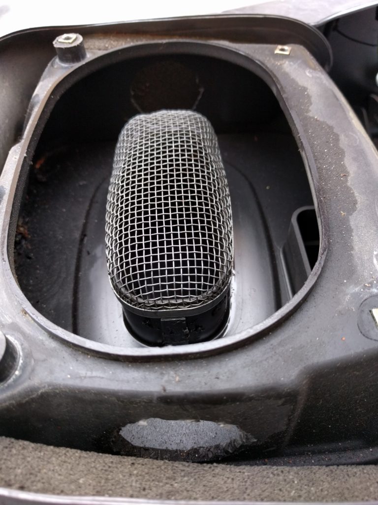
It also seems to have some performance modifications. The air filter box has extra holes to improve air intake.
Vacaburra’s intake air filter box
If the side stickers mean something, it should have some performance parts from Dynojet, probably in the carburetor. I will never be able to verify this, but I like to believe it.
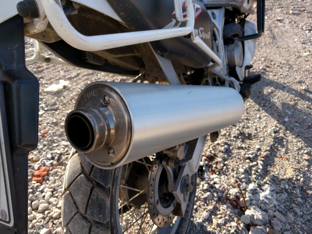
The exhaust is bigger than the stock one and has been fitted with some pipe welding. Accordingly to the seller it’s a Suzuki Hayabusa exhaust, but I couldn’t confirm that yet.
Vacaburra’s exhaust pipe
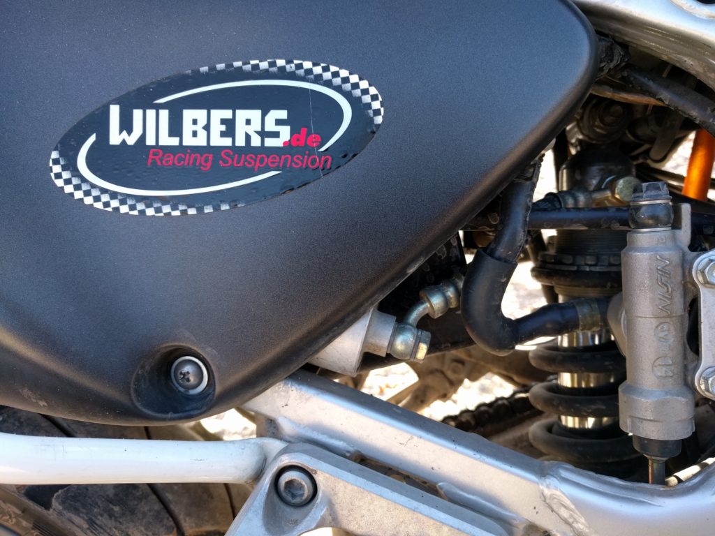
Other stickers claim it has Wilbers suspension. This should be easy to see, but I don’t know how the stock suspension is supposed to look.
Vacaburra’s rear suspension
All this power would be of no use if it didn’t have a second horn to get people out of my way 😉
Vacaburra’s double horn
I drove it for 4000 kilometers this season and you know I have put it and myself to the limit. It lived up to its reputation, surprisingly good handling and no remarkable problems at all. It’s true that it’s a tall motorbike, I’m not a short guy and I can only reach the floor with the front of my feet. That makes it very difficult for me to push it with my feet, so I always park backwards to make sure I can get out with the throttle. But I couldn’t be happier with this piece of motorcycling history I got.
When May allows me to ride it again, I will install bigger aluminum cases, change the tires to something more capable off-road, install folding mirrors, and maybe get some other improvements. In the meantime, I still haven’t written about my last trip and I will be sharing my Iceland trip plans and other stories. I hope I can keep you interested.
This time I tried my luck west of Espoo. It’s not so populated as the north of Helsinki, but I couldn’t find any lonely forest. Most of the trip went on main dirt and asphalt roads, with homes and farms here and there. Not the best area, but not bad either. There were a couple of extreme spots that almost made me fall of the bike.
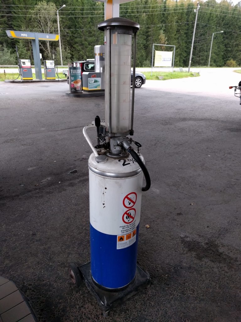
I filled the tank at a gas station that had an old pump on display.
Pump in gas station by road 1130 in Espoo.
A bit of the 1130 west and I left the asphalt for the first time by taking Solvikinkaari and Björkebergantie. Not a long stage but the gravel and stones at the middle made it interesting.
The first of the spots is here. Right before reaching Vaanilantie, the path is not mantained for vehicles and it went down a slope with some slippery mud.
Path connecting to the north end of Vaanilantie (Lohja)
The second difficult spot is Laakspohjan kartano, because it is covered with sand. Another slope made my bike shake both sides, but there was also a beatiful part surrounded by trees.
Laakspohjan kartano (Lohja)
This road has sand and shadow trees because it is used by the horses of a big farm next for it, and for that reason I won’t go there by motorbike again and I encourage you not to do it.
At that point I was near the center of Lohja, so I thought it was better to leave that populated area by taking road 25 south and then check Lohjansaarentie. The later is a curly, but it’s a busy road that goes through residential areas.
I changed my heading to north-east, along Päivöläntie, Knapantie and Siggansintie, same type of dirt roads. Right after crossing under the rail tracks I found a more challenging, but short, dead-end forest path. I took the picture below here.
Path near the rail bridge of Siggansintie (Siuntio)
At that point I was mostly heading to highway E18 to go back home, so I took a bit of road 116 south-east and Niemenkyläntie north. The only interesting thing about these asphalt roads were the views of fields and forests.
The last dirt road of the day was Lieviöntie, same as others of the day but with more traffic as I was getting closer to populated areas.
Forget Sipoo, there are far better areas for off-road motorcycling around Ylimmäinen lake. Bigger, with more tracks, all types of surfaces, quite lonley, and on top of everything, with awesome sights. Have a look at the pictures below.
I still continued further north. I took Karrintie, but before reaching Keihäsjärvi, I explored some tracks to the west that are not mapped by Google. The beginning of Karrintie ir a residential area, but further north and the west tracks are really nice and challenging.
To recap, the areas south-west of Niemenjärvi and around Keihäsjärvi are the best for off-road motorcycling I have found so far. I will visit them again.
I saw a F800GS with a customized Malaysian plate in Tallinn. I wonder if they came all the way in the motorbike, that would be more than 9000 kilometers!. Also, whenever I see an adventurer like this, I would like to know what they carry for the trip and what advices they have for me. In any case, hats off to them!.